
Geodetic Mapping
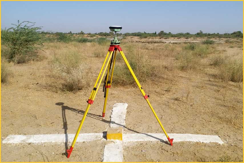
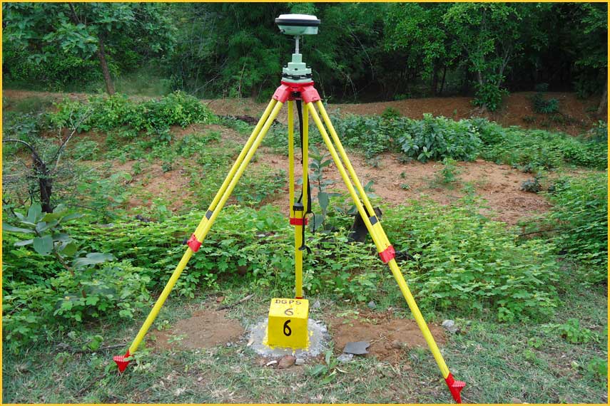
CADMAX Consultancy (P) Ltd has expanded their geodetic services by using new technology, including specialized software, the Differential Global Positioning System (DGPS), interferometric radio astronomy and precise gravity observations.
We cover many areas of geodetic survey such as:
- DGPS control Survey
- Primary Control Network
- Static and RTK Observation
- Survey control point fixing
- Geo Referencing Survey
- Setting out survey