Mobile Mapping - GIS
Today's mobile mapping systems (MMS) benefit from an array of sensors and technologies to collect precise data on roadways/Railways/ city Surveys and all types of engineering development projects. CADMAX Consultancy (P) Ltd. has always believed in delivering targeted business solutions, using the latest information technologies and geospatial capabilities.
We offer these services in Mobile Mapping - GIS:
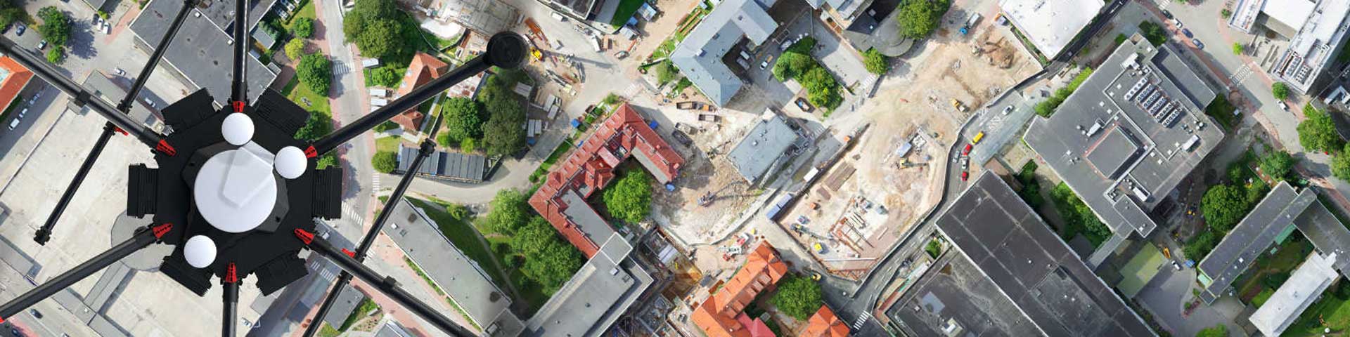
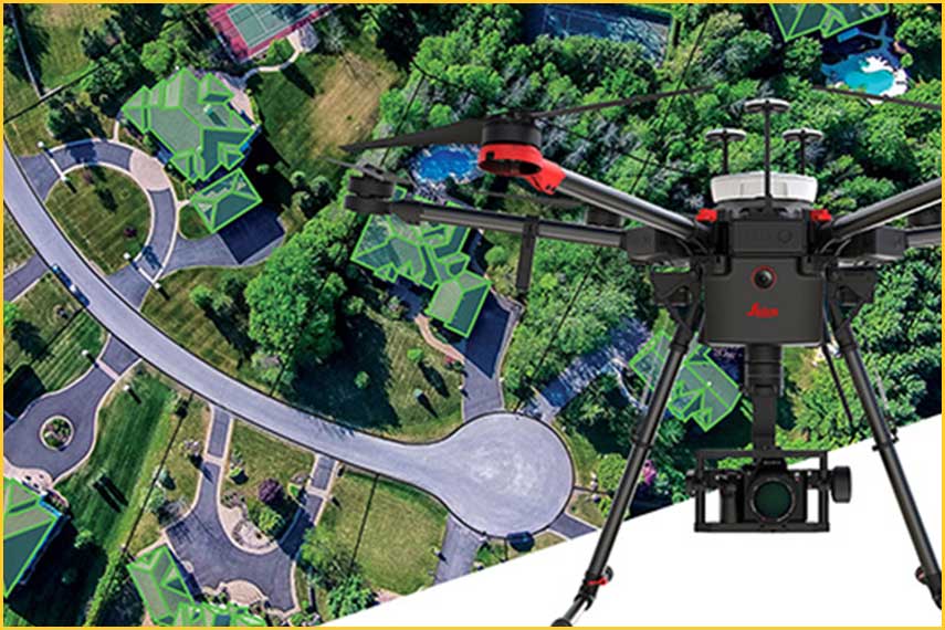
- LiDAR Survey
- (UAV/Airborne data collecting)
- Aerial Triangulation
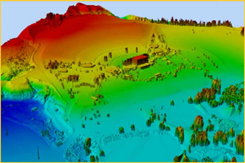
- Terrain Modelling
- GIS & Remote sensing study
- Land base creation
- Land Use and Land Cover Classification
- Orthorectification
- Image Classification
- Data Management
- Data Conversion
- Mobile LiDAR data processing and Terrestrial LiDAR data processing with Expert Partner.